Welcome to Earthquake Country
Earthquake Country Alliance (ECA) is a public-private-grassroots partnership of people and organizations that work together to improve earthquake and tsunami preparedness, mitigation and resiliency.
ECA’s regional alliances, sector-based committees, and outreach bureaus develop resources and organize activities to help everyone who lives, works, or travels in earthquake country be prepared to survive and recover quickly.
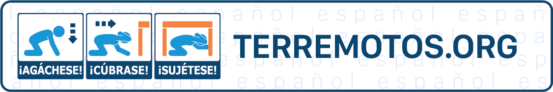
Get started by following the
Seven Steps to Earthquake Safety.
Major Activities

Join the Conversation


Resources

News and Events


